
Adaption Clearinghouse
U.S. Resources Adaptation Clearinghouse Go to Resource View More U.S. Resources Join as a Member Today
FEMA Safe Rooms
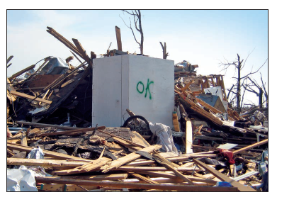
Guidelines and standards for constructing safe rooms for high-wind events like hurricanes and tornadoes.
My Radar
Real-time phone app radar that also shows nearby earthquakes and the local air quality index.
National Weather Service
Weather radar for storm tracking.
National Hurricane Center
Map updated daily showing building & coming storms.
Airnow Fire and Smoke Map
US Government air quality index data combined with a map of wildfires.
PurpleAir
Real-time crowd sourced air quality index data.
ASTM Standards
The American Society for Testing and Materials standards and publications.
FEMA Flood Map
This map is a great source for flood hazard information in the US.
USGS Earthquake Map
This map shows 2.5+ magnitude Earthquakes that have happened in the past day.